





Cammino del Negro – Follow the river
Destination
Duration
Group type
Travel mode
Overview
Between the peaks of Cilento and the borders of Basilicata, a trail winds its way through ancient places and stories: the Cammino del Negro, a 160-kilometer circular journey through one of the most fascinating valleys in Southern Italy.
The route takes its name from the Tanàgro River, known in the Middle Ages as the Negro, a silver thread that guides travelers' steps through the evocative Vallo di Diano, where plains and mountains are dotted with exceptional sites.
In a loop encompassing all the villages dotting the mountainsides around the valley, a mosaic of ever-changing landscapes unfolds step by step: ancient mountain paths alternate with dirt roads and quiet backroads, offering an experience accessible even to the less experienced hiker. A slow-paced experience along generally short stages opens your eyes and spirit to the beauty of the places.
From starting point Sanza, the route unfolds like a thread through landscapes that speak to the harmony that has bound humanity and nature over the centuries. On route you'll discover medieval towns, churches, castles, and monuments that bear witness to a fascinating past, such as the magnificent Certosa di San Lorenzo, guardian of an intimate spirituality on the edge of the valley, breathtaking and bringing peace to the soul.
The Cammino del Negro is one of the routes in the Camini Bizantini network, itineraries that highlight ancient paths and medieval roads, aiming to connect various towns in a compact network of routes and promote the inland areas of the Lucanian Apennines.
If you are a hiker that likes a more comfortable path and wants to limit the number of kilometers per day, but still wants to be close to both nature and Southern-Italian village life, then this is an ideal trip for you!
Your trip is customizable in term of length, starting point and daily distance, so don't worry if you have less days available: just drop us a line and we'll work the route to fit your needs.
Trip included
The following is included in the price of this trip (all versions)
- Accommodations based on half-board
- Packed lunch on all hiking days
- GPS tracks to load into any navigation app
- Stamp booklet
- Cammino del Negro goodie bag
- Pre-travel info pack
Self guided comfort
- Bag transport service on all hiking days - you walk with only a small backpack
For guided private groups
- Bag transport service on all hiking days - you walk with only a small backpack
- a licensed local guide
Trip excluded
These things are not included but can be added separately upon checkout
- Private Airport transfer
Map
Itinerary
No details found.
You'll arrive by public or private transportation in the town of Sanza, where you will check in to your charming B&B and try out the local cuisine in one of the town's restaurants.
Your first leg takes you from the town of Sanza, to Buonabitacolo.
Thanks to archeological finds, we know that Sanza was already had settlements in the Lucanian era, roughly from 700 BC. The first written mention of Sontium in Roman times named the town after it's Lucanian people, the Sontini.
In early Medieval times it grew in importance thanks to the presence of Italo-Greek monks, who built a thriving community around the granary of Santa Maria de Siripi, dependent on the Abbey of Grottaferrata di Rofrano. The cult of the Virgin of the Snows, or of the Grotta sul Cervato, likely also began with Basilian monasticism.
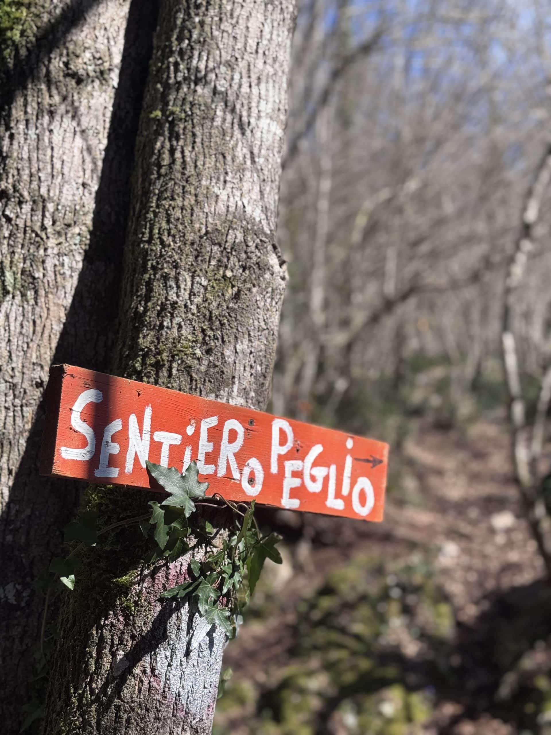
Your trail of the day is a mix of secondary roads and dirt tracks. When approaching Buonabitacolo, you'll descend through the woods to the Peglio river, where you can visit the ruins of an old mill, exemplary of the engineering ingenuity that the monks brought to this region. You'll follow the Peglio river into town to find your accomodation for the night.
Buonabitacolo literally means "good place to live"and indeed, it's position at the foot of the hillside, along the corridor that leads from the Vallo di Diano to the Policastro Gulf assures a fresh breeze all year long.
The Peglio river takes a turn to the left around the hillside and onto the broad Vallo di Diano floor, where it will meet the main water way Tanagro, historically called "Negro".
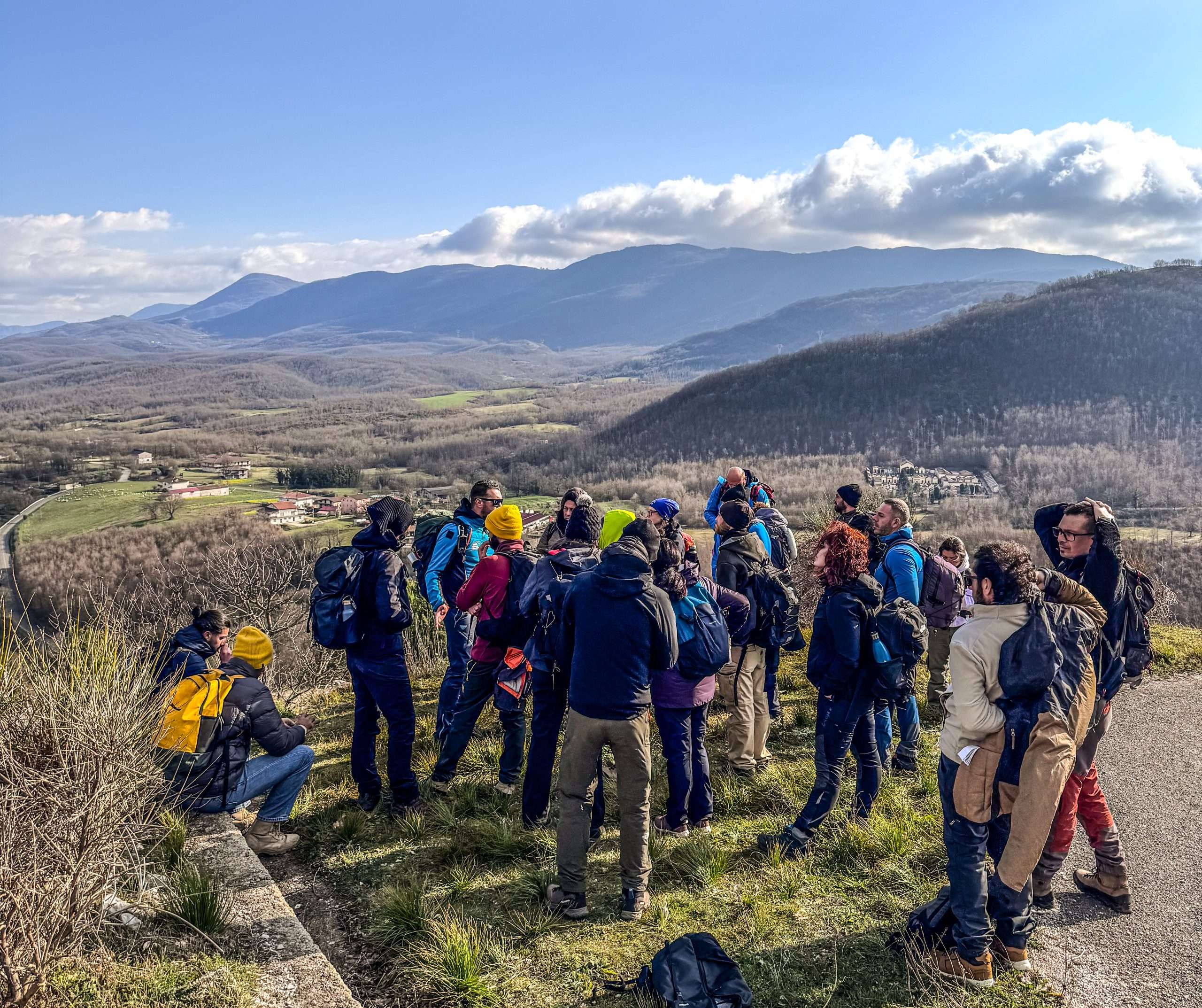
You, on the on the other hand will go up into the hills that line the western edge of the Vallo di Diano, following the Tanagro from a distance. These hills have been the home of shepherds since the memory of man. The natural path takes you by the sanctuary of the Madonna di Monte Carmelo, with its wide view over the Valley and Southern Appenine mountains.
You'll follow the crest of the hills, giving you alternating views over the Vallo di Diano and the smaller valley of the Peglio River.
You will find your destination in a small and accommodatoing Agriturismo aong the route.
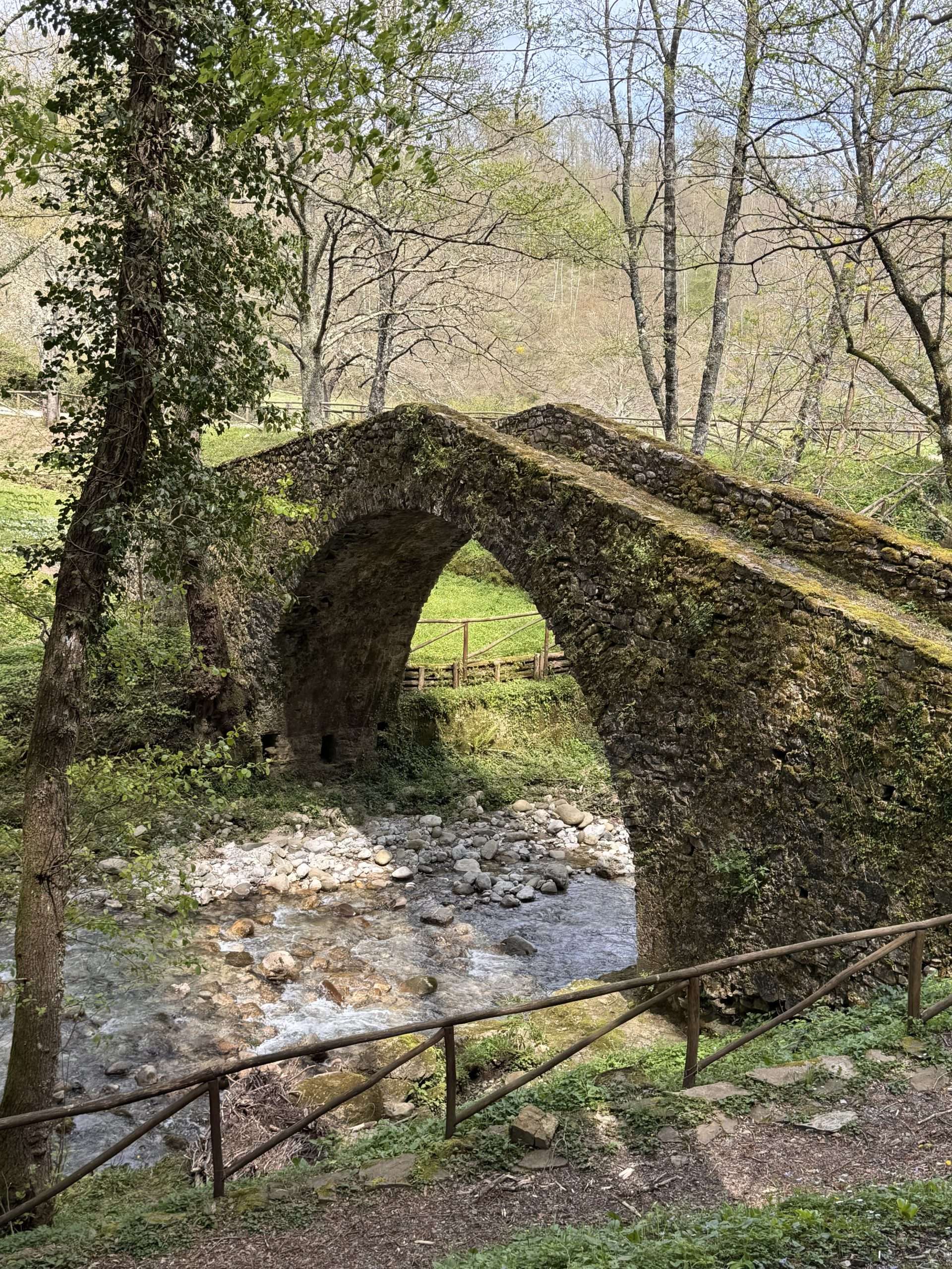
Leaving your bags in the agriturismo, you might want to take the short walk to the Ponte Peglio, a set of 2 bridges built by Italo Greek Monks around the year 1000 AD, to facilitate traffic to the Grancia di San Zaccaria (St. Zachary's granary), part of the same monastic network ruled from Rofrano. The two bridges are silent witness of this colorful past, that has left only a few traces on Sassano's landscape.
You'll first walk down to the village of Sassano, a small town set deep into the hillside. According to some, the name is derived from the Sattius' family ownership of the lands, although there are also popolar theories that say the name comes from Sasso Sano (healthy rock), due the rocky landscape and abundance of clean fresh water that comes from its hillside springs.
Here you can visit the Santuario di San Michele on the hilltop and the Fontana area. The latter is home to a 15th Century fountain that is still used by local women for washing... and sharing town gossip.
From Sassano it's a short hiuke up to Monte San Giacomo, one of the few Vallo di Diano towns that has not expanded onto the valley floor, and has therefore maintained a more tightknit community atmosphere.
The pathe takes you up to the Church of Saint Anna before leading you all the way around the hill towards Teggiano. Here you will find a comfortable bed and a beautiful town center to explore.
We recommend the little church of Sant'Antuono, built in the early Medieval style of Italo-Greek tradition.
Teggiano, formerly known as Diano, had been the military and political center of the Vallo di Diano from the early Middle Ages up to modern times. The lord of Diano, Tommaso di Sanseverino, who ruled over vast areas of Basilicata and Campania in the 13th century, was actually among those who stimulated the arrival of Carthusian Monks in the Vallo, to placate the French king surely, but also for their engineering prowess, in the hopes of improving the marshy terrain into land ready for agriculture. His castle, which has undergone many changes through the centuries, stands prominent off Teggiano's main square, overlooking the entire valley.
Your route today leads you down Teggiano's slopes and onto the Valley floor. You'll come by the neighborhood of San Marco with its church dedicated to St. Mark. Sat underneath the Sella del Corticato moubntain pass, San Marco used to be an important place of passage for those traveling between the Coast of Cilento and teh Vallo di Diano.
Leaving Teggiano behind you, your route takes you up into the hills again on your way to San Rufo. You'll find your resting place for the night before the town center, in the hillside lining the Vallo.
Today's journey will start to take you a little closer to the Tanagro, although not quite yet in its reach. After a short walk into the town of San Rufo.
The town center is etched into the mountainside, at the beginning of the Sentinella pass, where since thousands of years, people have made the difficult crossing into Cilento on their way to the seaside towns of Paestum and Agropoli.
The route takes you all along the foot of the hillside toward the towns of San Pietro al Tanagro, named for its vicinity to the river in its original location and Sant'Arsenio.
San Pietro has restored the mills that lined its hillsides. After a visit to the Parco dei Mulini you'll cross the town center and proceed to Sant'Arsenio, following one of the Tanagro's secondary bedforms to Polla, your destination of the day.
Polla sits across the narrow passage that marks the end of the Vallo di Diano's valley floor, literally cut in 2 by the Tanagro river. The town forms a hub between the Valle del Tanagro and the Vallo di Diano, a shallow pass that once held the water inside the Vallo di Diano, when it was still an internal sea.
Today's route will take you into the Valle de Tanagro's territory to Pertosa, known for its beautiful caves and its much appreciated white artichoke.
The route will first take you along the river to the north side of Pollaa, where you can still see signs of the old holding ponds that were used as a safeguard for high water levels in the Tanagro river. These systems were already in place as early as the Middle Ages, and persisted into the 20th century.
After leaving Polla, you'll walk once more up into the hills, above the river and various roads. You'll cross the highway without noticing, taking a path that crossed over the many tunnels.
Once across, you'll walk down through fields and forest land to the caves. Here you can choose to join one of teh daily tours into the caves, or proceed to Pertosa town center up the road.
Pertosa sits at the northern tip of your journey, and so today's route will take you back to Polla and on to Atena Lucana.
You'll follow the Tanagro closely today, partly over state road, before reaching the path along the canal. From here it's a straight line to Atena. from the valley floor you can get a feel for the size of this valley. Only 20.000 years ago, this was a sea, which explains the immense fertility of the soil and why it was worth turning the marshes into agricultural land.
Your straight path ends a few kilometers before Atena Lucana, where you will cut to the hills and find the footpath to town. At the foot of this path you'll find a old quarry, one of many in this area and the main srource of stone for the town's historical center.
Atena Lucana, according to sources, takes its name from the pre-latin adjective Ater (black) and is hence said to be a reference to the dark waters of the Tanagro, previously named Negro.
It traces its story back to the 4th century BC, witnessed by the megalithic stone walls still visible today. As the other towns along the eastern edge of the Vallo, it sits along the old Roman road the Via Popilia-Annia (Regio Calabra - Capua).
Having been completely destroyed by Saracen invaders in the 9th Century, the current historic town center was built around a castle that dates back to the 12th century.
After a walk through town your route will take you along the hills on the eastern edge of the Vallo di Diano and into the historic town center of Sala Consilina. Sala is the biggest town in the Vallo di Diano, having had an economic boom in the 1980's. The modern buildings tend to overshadow the rich history of this place, which is traced back to the neolithic era, as demonstrated by archeological finds in the area.
After leaving the town center, you'll walk along the old pilgrims' route towards the South, where you will arrive at the early Christian baptismal font of St. John, il Battistero di San Giovanni, an important place of worship for any traveler along the Vallo's eastern edge. You will find your bed for the night in a nearby agristurismo.
After leaving the Battistero, you'll follow the dirt road South until you hit the road leading to Padula's Carthusian monastery.
After the first settlement of Italo-Greek monks on the hilltop that still houses the historic center, the town grew exponentially with the development of the monastery from the 13th century onwards.
The Certosa di San Lorenzo was first built by French Carthusian monks, who were invited by Tommaso Sanseverino to settle around a small church dedicated to San Lorenzo. A political move with the goal of ingratiating himself with the French king, it was a decision that would define the course of history for the entire Vallo di Diano in subsequent centuries. The monks, who were excellent engineers, reclaimed the marshlands for agriculture, attracted builders and artisans to what would become the booming town of Padula, providing work for many and a steady income for the Monastery and for the Sanseverino family.
Padula, at its peak, housed upwards of 10,000 people in the historic center alone.
After leaving the town center on the hill, you will walk through the old Lucanian settlement on the hilltop behind town, before descending to the Italo-Greek hermitage the Eremo di San Michele alle Grottelle. This cave sanctuary used to be a pagan place of worship dedicated to the deity Attis. From the early Middle Ages, it was used as a place of quiet contemplation, and pilgrims from many origins contributed to the sanctuary's current form and its lively artwork.
From the Eremo, you'll proceed further into the hills to find your destination of the day, an agriturismo on the hilltop above the Vallo.
From your idyllic hilltop accommodation, you'll proceed South toward the town of Montesano sulla Marcellana. On your way there you'll come through the hamlet of Arenabianca, known for its pleasant breeze and beautiful vista over the valley.
You'll leave the main road and make your way to the foot of the hilltop on which Montesano sits. Your hike up take you by the old Terme, once an important spa resort that is now decomissioned. If you want, you can take a short deviation to the Sanctuary of Sant' Antonio down the road, before starting your hike up into town.
In Montesano town center, today's destination, you'll find your sleeping place for the night.
Montesano was home to the grange of San Pietro de Tumusso, an important element in the network of monasteries ruled by the Grottaferrata Abbey in Rofrano. The old monastery has since been subject to many changes, including its name, when it became a Benedictine monastery dedicated to Santa Maria di Cadossa.
Today's route will take you from the town center into the hinterland of Montesano, a hamlet called Tardiano known for its fertile soil and bread production.
From here, you'll proceed to the Piana di Magorno, a large plain that was hugely important for trade between the Vallo di Diano and the Ionian coastal cities of Policoro and Metaponto. All trade passed through this area, which offered a large falt surface for traders to rest and for sherpherds to let their flocks graze.
your route will take you alonf the Southern edge of te piana and around the Monte Vaiana, bending South towards Casalbuono. You'll rest for the night before reaching the town center.
Your route of the day will take you first to Casalbuono, which literally means "good house". You'll follow the road across the plain between the hills before turning West onto the path to Casalbuono. You'll cut through a break in the hills until you catch sight of the hilltop town on your right. Casalbuono is then Southern most town of the Vallo di Diana.
The Medieval origins of Casalbuono are of uncertain date, but we know is was a dependent village of the Benedictine monastery of Montesano. Most likely the area was already inhabited for quite some time, but written sources have not been identified. The castle above town dates back to the 15th century AD.
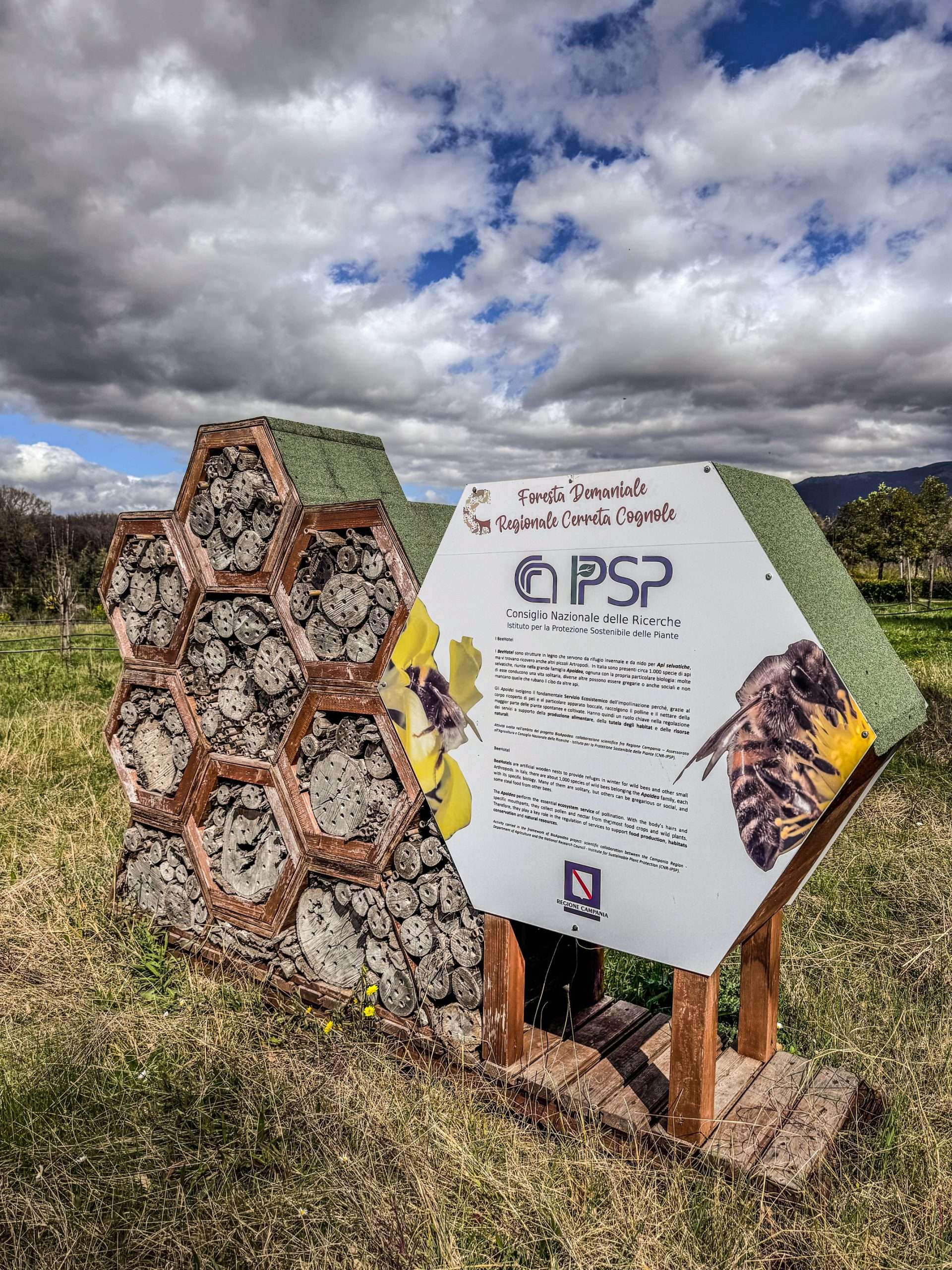
Leaving Casalbuono, your route takes you on a parallel path to the Strada Statale delle Calabrie, what was once the main road to Reggio Calabria, before the advent of the highway. You'll follow the Tanagro River on your right, and on your left the the Cerreta forest, a nature reserve that stretches far into the mountains that separate the Vallo di Diano from the Gulf of Policastro.
Your accommodation for the night sits along the Statale on the way to Sanza.
Your final leg of the journey along the Tanagro follows the river until it is time to bend left towwrds Sanza once more. The path will lead you all along gthe hillside of the Cerreta forest, through the fields in the broad valley that leads to the Bussento River and Sanza.
Here you will retire to your accommodation for one last night in the Vallo di Diano.
After a healthy breakfast, you'll find you way to your transportation option for the trip back home or on your forward journey.
Gallery
FAQ
Why book with us?
- Personal touch
- Undertraveled Italy
- Authentic and genuine
- Local services and products
- Your travel, your way
Got a question?
We’re just one phone call or text message away. Let us know what we can do to assist you!
- +31 85 401 22 37
- info@cervatitours.com
Your travel, your way
Customers also viewed
Basilicata Bike Trail – Coast to Coast
Cross Basilicata from the Ionian to the Tyrrhenian Sea on MTB, Gravel or Tour bike through amazing and dramatic landscapes
The silent road – Biking in Cilento
Bike through all of Cilento, along mountains ranges, lush valleys, through picturesque towns valleys and along breathtaking coast lines.
The Salt Roads of Cilento – Palinuro to Monte San Giacomo
Hike from sea to mountain to discover the ancient roads and history of the peoples of Cilento and the Vallo di Diano.