


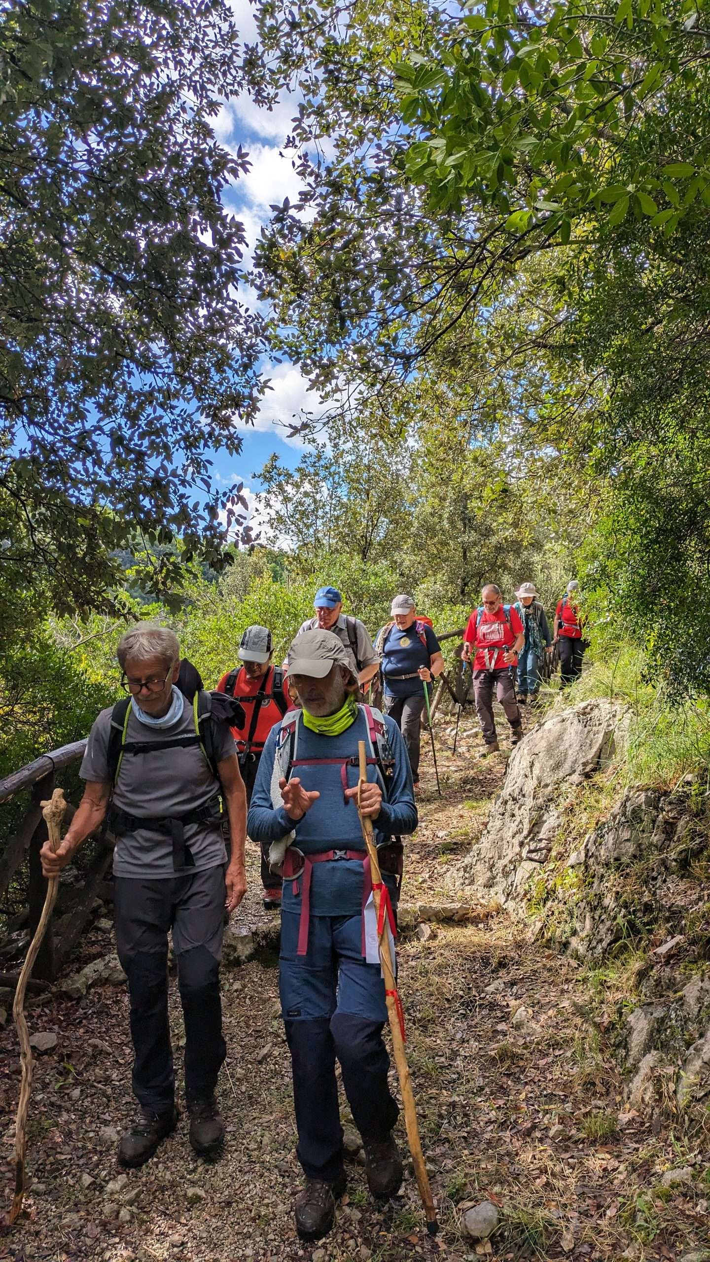
San Nilo trail – follow the monk
Destination
Duration
Group type
Travel mode
Overview
Explore the beautiful sights and sounds of the Cilento National Park on foot.
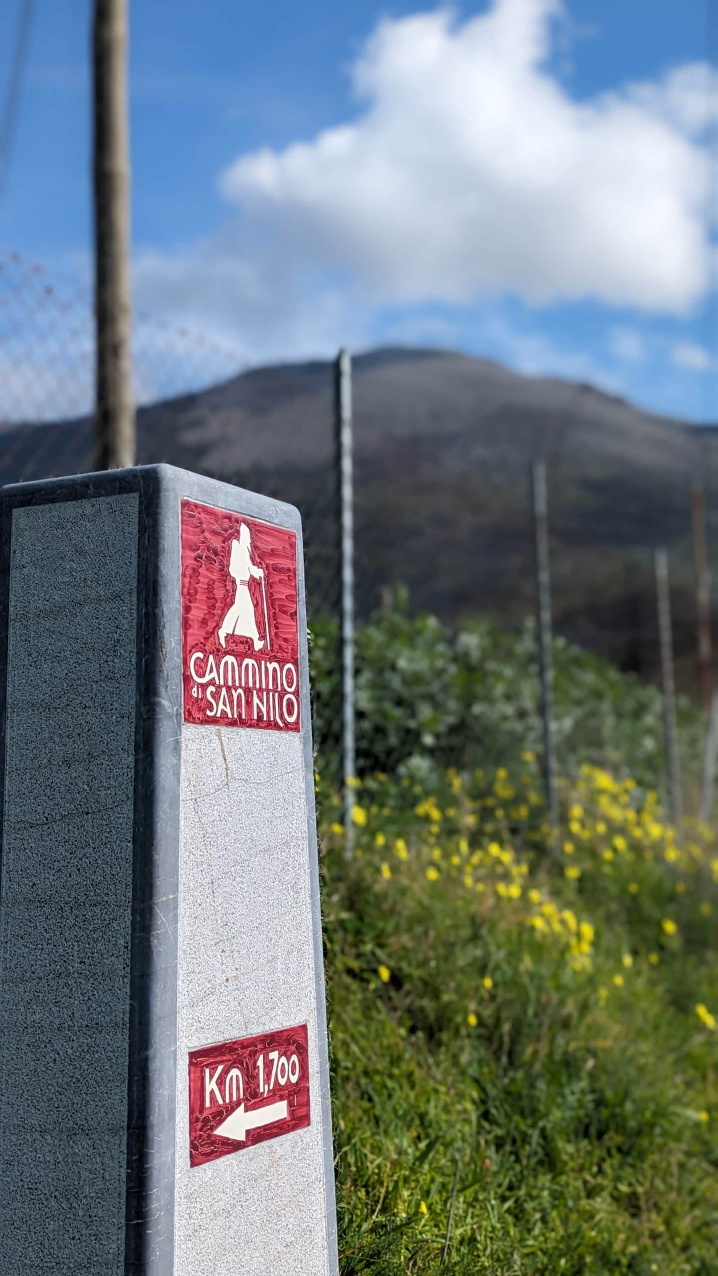
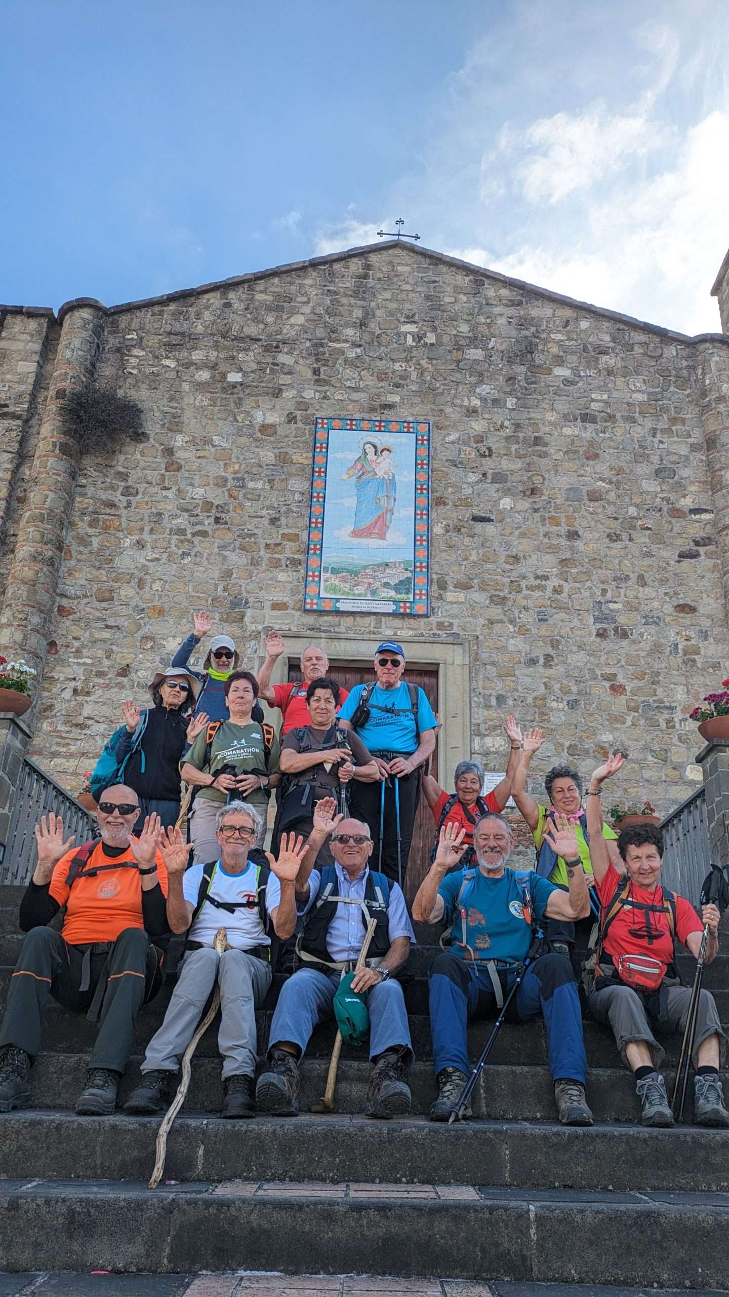
The Cammino di San Nilo is a fascinating itinerary of over 100 km, divided into 8 legs across lower Cilento, that traces the history of the Byzantine Saints who inhabited it, specifically San Nilo of Rossano.
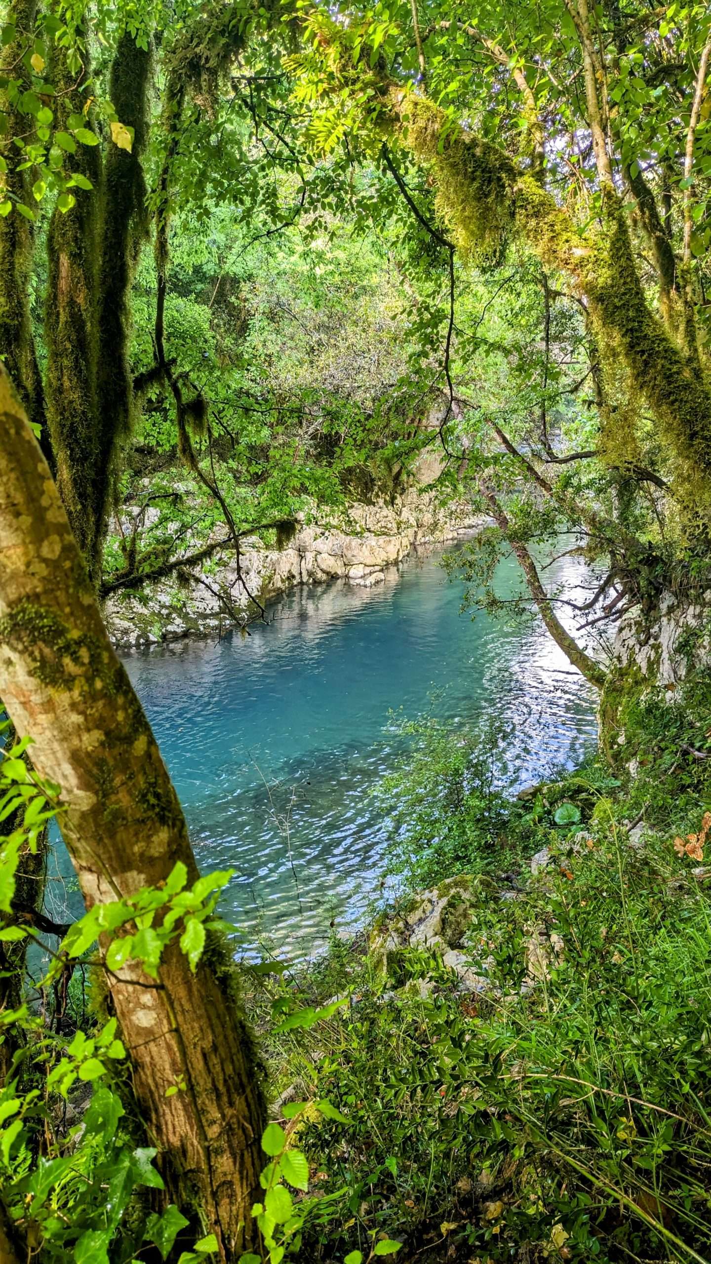
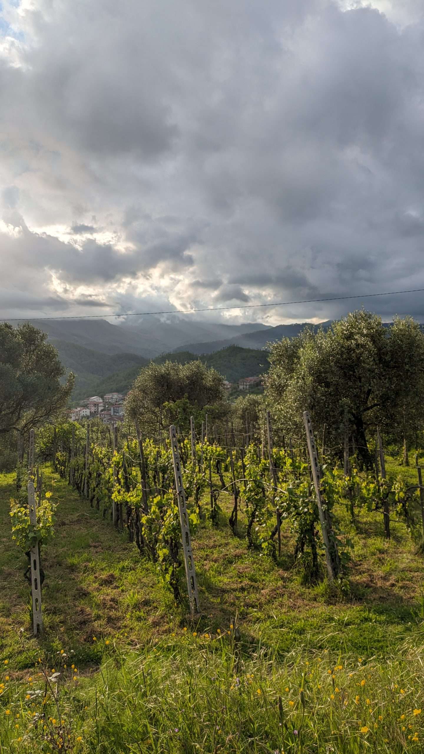
The route starts in Sapri and winds mainly through green areas, up to the Palinuro beaches. Along the way, you pass through 13 enchanting villages immersed in the nature of the Cilento, Vallo di Diano and Alburni National Park. Rivers, streams and waterfalls enrich the experience, offering the opportunity to come into close contact with the uncontaminated nature of the park, which boasts four UNESCO recognitions: world heritage site, MAB biosphere, geosite and intangible heritage for the Mediterranean diet.
San Nilo of Rossano is one of the most representative Italian-Greek saints, an exemplary figure of Byzantine monasticism, a tradition rooted in both spirituality and daily routine. An emblematic figure of a world in which cultural and ethnic distinctions did not constitute a reason for mistrust and conflict were perceived as mutual enrichment and a source of reassurance, San Nilo kept relations with the powerful men of his time, from authorities in Constantinople to those residing in Arab Palermo, as well as with prominent figures from Western Europe, among which Otto III, emperor of Germany, son of the Byzantine princess Theophan, and of Saint Adalbert, archbishop of Prague.
The Camino di San Nilo traces part of the pilgrimage route that the Calabrian Saint traveled in southern Cilento. There are plans to further trace the trail on both sides, to Rossano and Grottaferrata, two important cities in the Saint's journey in life and faith.
You can walk the trail as a self-guided hike, equipped with gps tracks and with Cervati Tours a mere phone call away, or as a group, with a professional guide that will join you on your hike from start to finish. If you want to customize your trip, no problem, feel free to contact us for a proposal!
Trip included
The following is included in the price of this trip (all versions)
- Accommodation 9 nights based on half-board
- Packed lunch 4x
- GPS tracks to load into any navigation app
- Stamp booklet
- San Nilo goodie bag
- Pre-travel info pack
Self guided comfort
- Bag transport service on all hiking days - you walk with only a small backpack
For guided private groups
- Bag transport service on all hiking days - you walk with only a small backpack
- a licensed local guide
Trip excluded
These things are not included but can be added separately upon checkout
- Private Airport transfer
Map
Itinerary
No details found.
From your arrival airport, you will make your way to the starting point of the Cammino San Nilo in the seaside town of Sapri.
You will spend the night in a carefully selected B&B so that you can have a fresh start of the Cammino's first leg.
Starting from the milestone located on the seafront, you'll walk through Sapri's town center via Piazza Plebiscito, home of the main church. You'll proceed to the outskirts of townwhere you'll find the dirt road to Torraca.
Climbing along the hillside you'll turn around to the amazing view of the bay of Sapri and gulf of Policastro.
Before reaching Torraca, explore the ruins the ancient Church of San Fantino, mentor of San Nilo.
Distance: 10.1 km
Lowest point: 11 m
Highest point: 573 m
Starting from the San Fantino neighborhood of Torraca, you find yourself at the edge of the Mercurion region, in Greek times a refuge for Italo-Greek monasticism.
After a beautiful and sometimes challenging climb, you'll walk across woodland and open fields via the Hamlet of Battaglia to Casaletto Spartano, home of the Capelli di Venere waterfall (lit.: Hair of Venus).
Distance: 15.1 km
Lowest point: 354 m
Highest point: 697 m
From Casaletto Spartano, you will cross "otter valley" before starting your short yet steep climb to the old town of Tortorella. From there, you will enter the Farneto woods toward the town of Morigerati, where you will come across a medieval bridge before entering the picturesque town with its 270 degree view on the eastern part of Cilento.
Distance: 10.2 km
Lowest point: 140 m
Highest point: 565 m
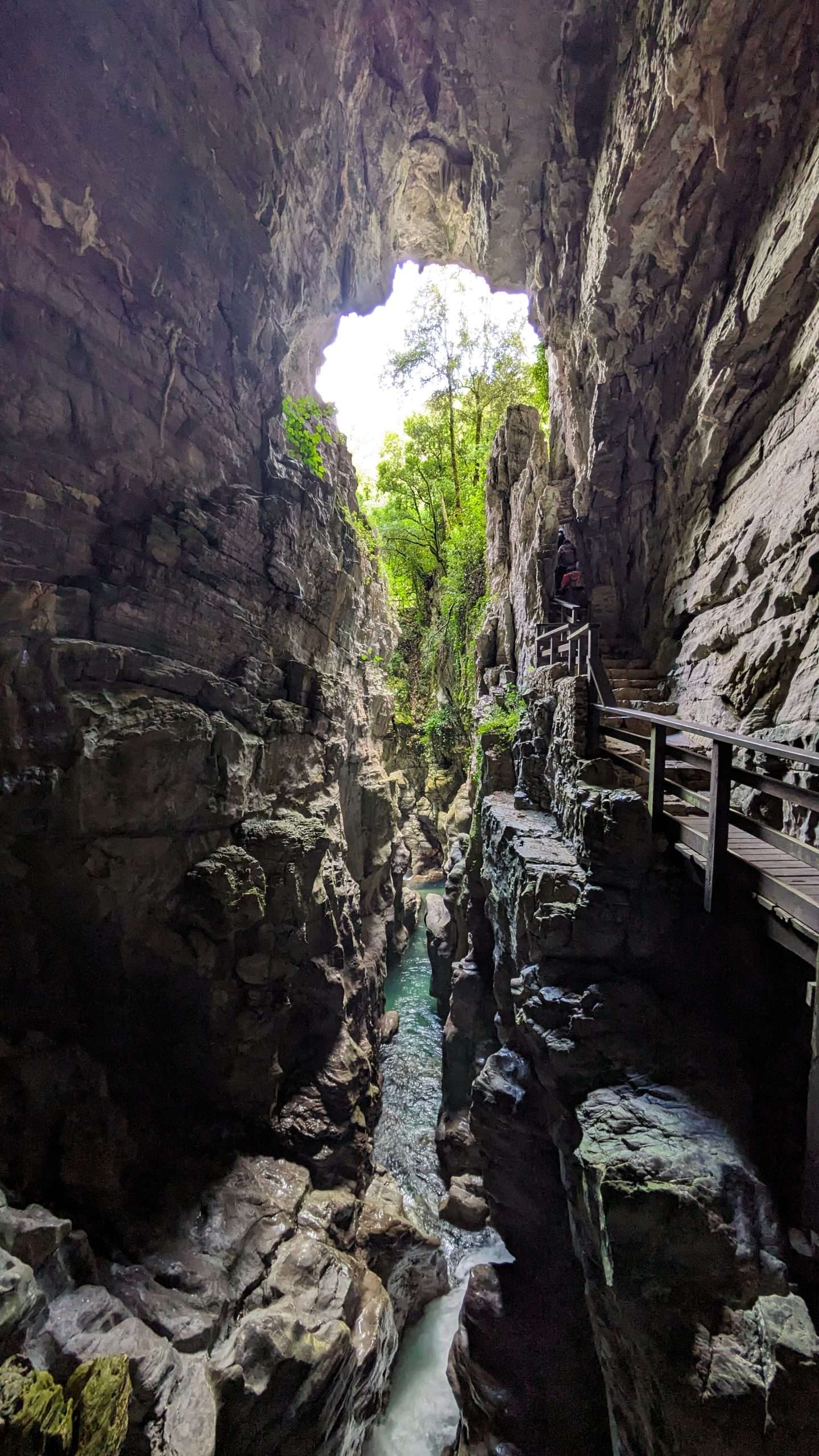
After leaving Morigerati, you can visit the WWF Oasis, with its ancient watermill, impressive cave and beautiful fresh waterfalls. From there, you can choose between 2 alternatives: a fun and challenging 600m /1800ft climb through the woods, or a detour through the town of Sicilì, mostly on paved road. Either route will take you to the cave sanctuary of San Michele. From there, you'll take a relaxing walk to Caselle in Pittari, whose old town is definitely worth a visit.
Distance: 9.8 km
Lowest point: 153 m
Highest point: 592 m
From Caselle, you will walk a short distance over the road to the edge of town, where you will find the trail that leads to Rofrano. This part of the San Nilo trail coincides with the pilgrimage route to the famous Monte Sacro sanctuary on Mount Gelbison, where thousands of people travel on foot every year.
Distance: 16.7 km
Lowest point: 418 m
Highest point: 754 m
From the town of Rofrano, you will walk first toward the historic town of Laurito, which features a number of interesting places to visit, among which the anvient church of San Filippo d'Agira. The church features renaissance frescos that contain many references to the Italo-Greek roots of this Sicilian saint.
From Laurito, you'll find the trail to Montano Antilia, highest village of the entire Cilento National Park.
Distance: 11.9 km
Lowest point: 335 m
Highest point: 704 m
From Montano Antilia, you can either proceed via road to Futani, then on to Cuccaro Vetere, or walk through the olive groves down to the hamlet of Massicelle, which will connect to a beautiful trail through woodland and hillsides. You will come across the old Abbey of Santa Cecilia before reaching San Nazario, where San Nilo was welcomed and later tonsured as part of his path towards a monastic life.
Distance: 22.8 km
Lowest point: 222 m
Highest point: 713 m
From San Nazario, you will proceed to San Mauro la Bruca, which, from its village square, offers a stunning view of the Cilento coast. From there, you take a slow and meandering descent towards Palinuro, one of the most visited seaside towns in Cilento, famous for its archeological finds on the so-called Molpa and the beautiful coastline on its peninsula called Capo Palinuro
Distance: 15.1 km
Lowest point: 29 m
Highest point: 325 m
From your final accommodation in Palinuro, you can choose to hang out at the seaside a bit longer, make your way back to the airport, or travel on to the next stop on your journey.
Gallery
FAQ
Why book with us?
- Personal touch
- Undertraveled Italy
- Authentic and genuine
- Local services and products
- Your travel, your way
Got a question?
We’re just one phone call or text message away. Let us know what we can do to assist you!
- +31 85 401 22 37
- info@cervatitours.com
Your travel, your way
Customers also viewed
Digital Monks – workation
Work and vacation in an enchanting monastery – Get away from urban life and recharge your battery with nature, fresh air, and healthy food.
Cilento to Calabria and back – Coastal bike tour
Discover the beautiful coastline from Cilento, via Basilicata to Northern Calabria and the rocky hills that overlooks the Mediterranean